

Flood fears as new front to bring downpours, snow down to 400m
25
July, 2017
People
are being warned to prepare for more flooding with more heavy rain
and snow set to hit the country.
The
country, particularly eastern areas of the South Island including
Christchurch, was recovering after being battered by a freezing storm
that caused widespread flooding late last week.
MetService
was expecting a cold southerly change, bringing snow down to about
400 metres in Southland, Otago and Canterbury, possibly lower in the
deep south from Thursday. Over the central high country of the North
Island it could get down to 700m.

JOHN
KIRK-ANDERSON/STUFF
A
local state of emergency remained in place in Christchurch as the
flood clean up continued. Several city roads remain closed, while
others have restricted access during high tide.
The
snow would be accompanied by rain for most southern centres,
with heavy falls about the ranges, while the North Island would see
downpours that could become heavy in central and southern areas.
Authorities
warn the incoming heavy rain could bring more flooding to saturated
Canterbury.

GEORGE
EMPSON
Snow
at Tekapo on Saturday.
A
local state of emergency remained in place in Christchurch as the
flood clean up continued. Several city roads remain closed, while
others have restricted access during high tide (about 6pm).
A
Civil Defence update on Tuesday said forecast rain on Thursday could
again cause problems.
"[This]
may cause isolated flooding in some areas, particularly where grounds
are already saturated," it said.

GEORGE
HEARD/STUFF
Bad
weather subsides, allowing flood-stricken Canterbury and Otago to
get on with the clean-up, including Tairei farmer Ross Farquhar.
MetService
meteorologist April Clark said residents in Canterbury and Otago
could expect rain on Thursday, but not in the accumulations that
flooded the region late last week.
"The
rain is not looking quite as persistent and heavy as what they've had
but obviously they're quite susceptible to any amount of rain at the
moment," Clark said.
"Thursday
is going to be the worst day for them, with some heavy falls
possible particularly in Canterbury, but in terms of
accumulation it's not going to be massive."

SUPPLIED
Taieri,
Otago, was left under water after heavy rain caused the river to
breach its banks.
Clark
said the rain looked to be "more brief" in Dunedin and
"probably not too bad".
Despite
the relatively smaller size of the incoming low, MetService
would keep a close eye as it made its way towards New
Zealand.
The
cold change would follow an active front expected to move northward
over the South Island on Thursday.

Clark said the rain looked to be "more brief" in Dunedin and "probably not too bad".
Despite
the relatively smaller size of the incoming low, MetService would
keep a close eye as it made its way towards New Zealand.
The
cold change would follow an active front expected to move northward
over the South Island on Thursday.
That
atmospheric river that brought heavy rain to parts of the country
late last week.

The
front was forecast to cross and move away to the east of the North
Island on Friday, followed by a period of strong cold southerlies.
Southerly
gales could become severe around Wellington for a time on Friday.
Roads
in the South Island could by icy on Friday night, as a ridge of high
pressure expected to spread over the South Island from the Tasman Sea
brought cold air, clear skies and light winds.
"However, it's not all doom and gloom, with the upcoming weekend looking generally frosty and fine, especially on Sunday," MetService said.
Westerlies
on Tuesday and Wednesday were bringing a few showers to western and
southern fringes, and sunny and relatively mild weather to the east.
By 1pm Tuesday Gisborne, Napier and Masterton were already into the
high teens.
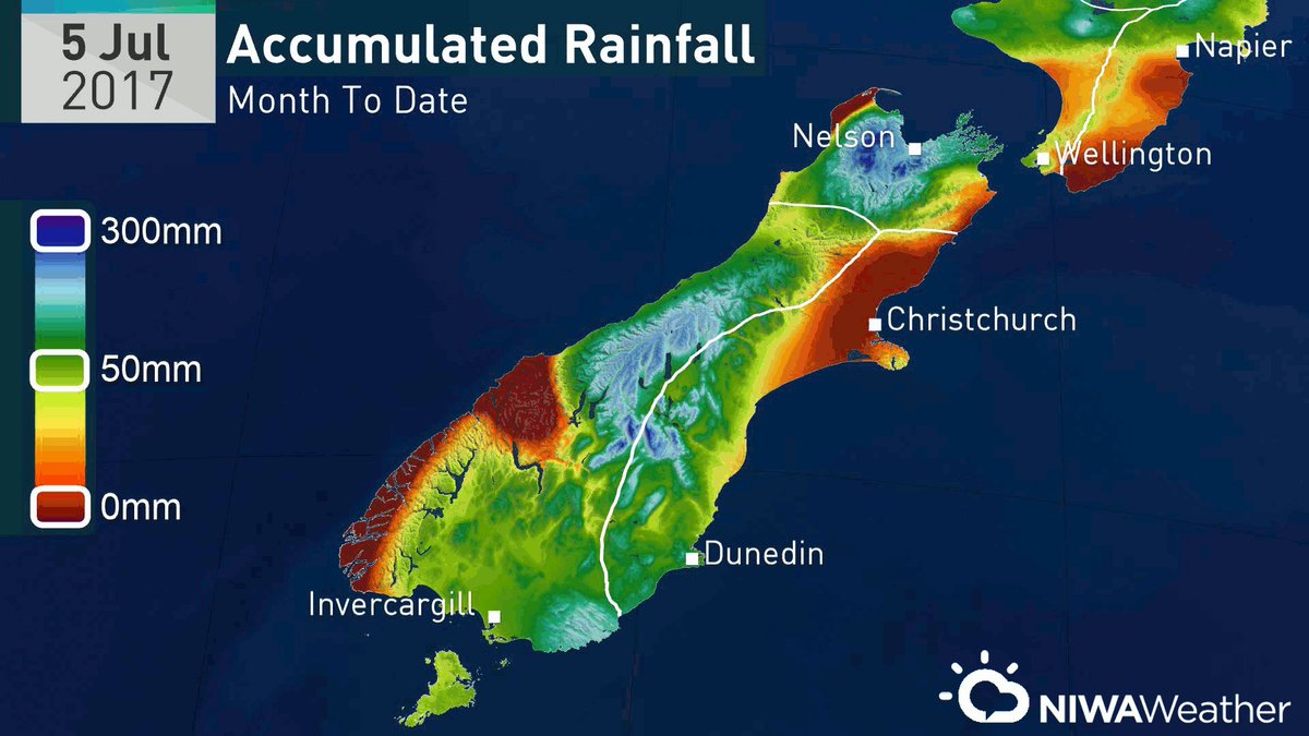
The eastern South Island had been tracking toward near-normal July rainfall til winter whammy brought up to 4x the monthly norm in 1 daypic.twitter.com/2KSOgbFXb0
One benefit of the July rains? Near normal amounts of soil moisture for many spots & groundwater recharge across the eastern South Islandpic.twitter.com/TSr8RmbRw3


Sunshine dominating, thanks to a weak ridge of high pressure.bit.ly/metservicenz ^Cam
No comments:
Post a Comment
Note: only a member of this blog may post a comment.